
The land stays the star.
325 acres in Loudoun County— and
a plan built to honor every one of them.
Between Evergreen Mills Road and Beaverdam Drive sits an assemblage of land with mature woodlands, stream corridors, and the kind of quiet that’s become rare in this part of the county. This page is about that land — what’s there now, what stays, and how a technology campus can sit within it without taking it over.
GETTING YOUR BEARINGS
A working sense of the site.
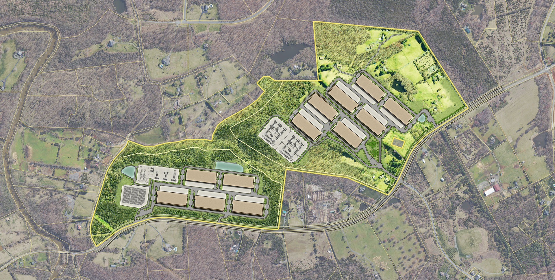
Spring Valley Technology Park spans roughly 325 acres along the east side of Evergreen Mills Road (Route 621), between Reservoir Road to the north and Ryan Road to the south. The campus is organized into two Land Bays, separated by the Tan Branch floodplain that runs through the middle of the property — a natural divider the design preserves rather than fights.
One detail that often surprises people: not all of the land is part of this application. The roughly 37.5-acre agricultural parcel on the Loudoun County side stays zoned Agricultural Rural (AR-1) and will not be developed with data center or substation use. It keeps its rural, agricultural purpose — and we’re open to working with the County on how that piece can continue to serve Loudoun’s rural economy.
Site at a glance
~325 acres
Thoughtfully planned in Loudoun County, off Evergreen Mills Road
~60%
Preserved as permanent open space
200–1,000 ft
Forested setback between the buildings and neighbors
100% air-cooled
Cooling designed to minimize water use
$0 to residents
The project funds its own power and water infrastructure
THE QUESTION WE HEAR MOST
“Why here?” — answered
honestly.
We know the hardest question about this site isn’t about cooling or noise. It’s about place: this is the Transition Policy Area, and for a lot of people that designation is close to sacred. We want to answer that directly, without spin.
Here’s the honest framing. The Transition Policy Area was created as a buffer between Loudoun’s suburban development and the rural policy area — it was meant to accommodate some growth while protecting the rural west, not to remain frozen. Under the General Plan, this land sits in the Transition Large Lot Neighborhood place type, and it’s currently zoned TR-10, which means it is going to be developed in some form.
So the real question, as we see it, isn’t whether this land changes — it’s how. And we’d respectfully submit a campus that preserves nearly 59% of the site as open space, generates a fraction of the daily traffic of a residential build-out, and tucks its buildings behind hundreds of feet of forest is a gentler future for this parcel than most of the alternatives its zoning allows.
We know the hardest question about this site isn’t about cooling or noise. It’s about place: this is the Transition Policy Area, and for a lot of people that designation is close to sacred. We want to answer that directly, without spin. Here’s the honest framing. The Transition Policy Area was created as a buffer between Loudoun’s suburban development and the rural policy area — it was meant to accommodate some growth while protecting the rural west, not to remain frozen. Under the General Plan, this land sits in the Transition Large Lot Neighborhood place type, and it’s currently zoned TR-10, which means it is going to be developed in some form.
So the real question, as we see it, isn’t whether this land changes — it’s how. And we’d argue respectfully submit a campus that preserves nearly 59% of the site as open space, generates a fraction of the daily traffic of a residential build-out, and tucks its buildings behind hundreds of feet of forest is a gentler future for this parcel than most of the alternatives its zoning allows.
And to be clear about the most sensitive line: the portion of the property nearest the rural policy area is permanently preserved with no development. We’re not asking to push into the rural west. We’re asking to be a careful steward of a transitional parcel that was always going to see change.
DESIGNED AROUND YOUR LIFE, NOT OURS
Layer by layer, from the
road to the building.
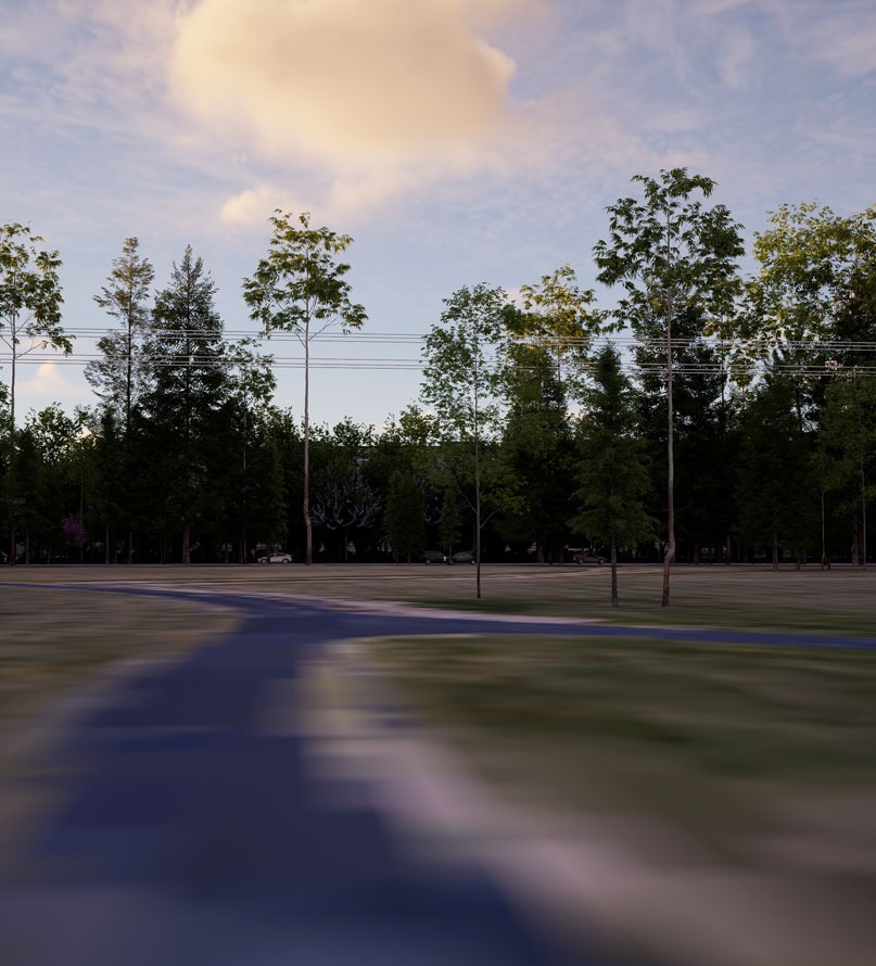
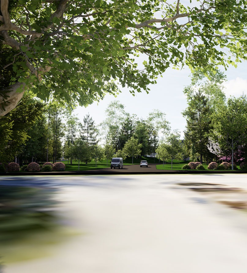
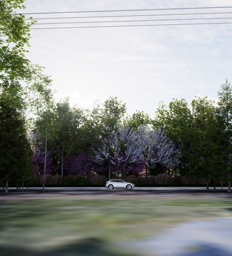
The whole point of the design is that the landscape stays the dominant feature. If you walked from Evergreen Mills Road toward a building, here’s everything you’d pass through before you ever reached one:
- The existing tree line. Wherever possible, the mature trees already along the road stay exactly where they are.
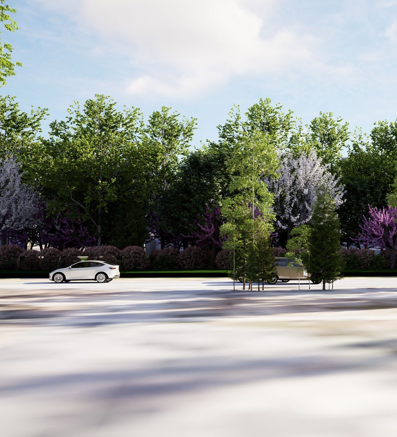
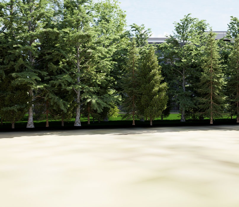
- Enhanced native buffers. Those tree lines are thickened with native plantings to build a denser, higher-quality screen — widths of 200 feet or more in most places, and 400 to nearly 1,000 feet along certain boundaries.
- Earthen berms. Landforms that block the lower portions of any structure, hide parking and service areas, and help absorb sound.
- Evergreen plantings. Year-round screening layered in front of the buildings, so the view holds even in winter.
- Then — finally — the buildings. Set hundreds of feet back behind all of it, with entrances angled diagonally so the campus isn’t visible head-on as you drive past.
Driving Evergreen Mills Road, what you’d see is trees and landscaping. And even up close, the architecture is designed to read like the Class A office buildings you’d expect in Loudoun — at least five façade materials and more than 30% glass — not metal boxes.
You’d have to look for it to find it.
Prioritizing Preservation
It’s easy to talk about a building. It’s harder, and more honest, to talk about everything that isn’t one. Here’s what the open space actually holds:
- Preserved woodlands and tree conservation areas, with at least 80% of the canopy in those areas protected and a minimum 15% canopy across the whole site.
- The Tan Branch floodplain and stream corridors, kept as a natural spine through the property with no-disturb buffers fenced before any ground is broken.
- A dedicated reforestation area of at least 100,000 square feet, replanted with native species where existing forest is of lower quality.
- Roughly 22,000 square feet of pollinator meadows, seeded to support Monarchs and other pollinators under a plan coordinated with state wildlife staff.
- Specimen trees protected individually, with expanded root-zone fencing and four-to-one native replacement for any that can’t be saved.
- A permanent 50-foot public trail easement, so the community gets lasting access to part of what’s preserved.
WHY THIS SITE IS TREATED WITH EXTRA CARE
Every acre here drains toward
something that matters.
There’s a reason the environmental commitments on this site run deep: the entire property sits within the Reservoir Protection Area, and its streams feed toward Lower Goose Creek, which the Commonwealth has already flagged as impaired. which the state has already flagged as impaired. Protecting this land and protecting this water are the same job.
That’s why the project commits to pre- and post-development water quality testing, handles 90%+ of its required phosphorus reduction on-site through Low Impact Development practices, reuses rainwater for landscaping, and prohibits herbicides and pesticides across the property as a recorded restriction on the land — a safeguard for the Reservoir Protection Area that binds every future owner.
For the full set of water commitments, see Our Commitments.
Come see the land the way we do.
The best way to understand this site is to understand what it preserves. We’d welcome the chance to walk you through the plans — and to hear what matters most to you about this corner of Loudoun.